Right now, Ryan and I are on a road trip/vacation visiting some of his family up North. The first few days were in Fond du Lac, Wisconsin, where, along with a couple of very scenic rides through the rolling dairyland, we visited the Kohler factory (coolest part was definitely the foundry), a cheese factory, and hung out with his brother and sister-in-law.


Yesterday, we made the drive to his mom’s house in Marquette, Michigan. We tried to get in touch with several people from a local team about a Sunday group ride, but no one would answer emails about whether or not the ride was still active. So we took a look at Google maps and used Mapmyride.com to create our own route (I named it Bad Idea Jeans). Ryan’s mom warned us that some of the roads were gravel, but we generally enjoy those, so we figured they’d just make the ride more interesting.
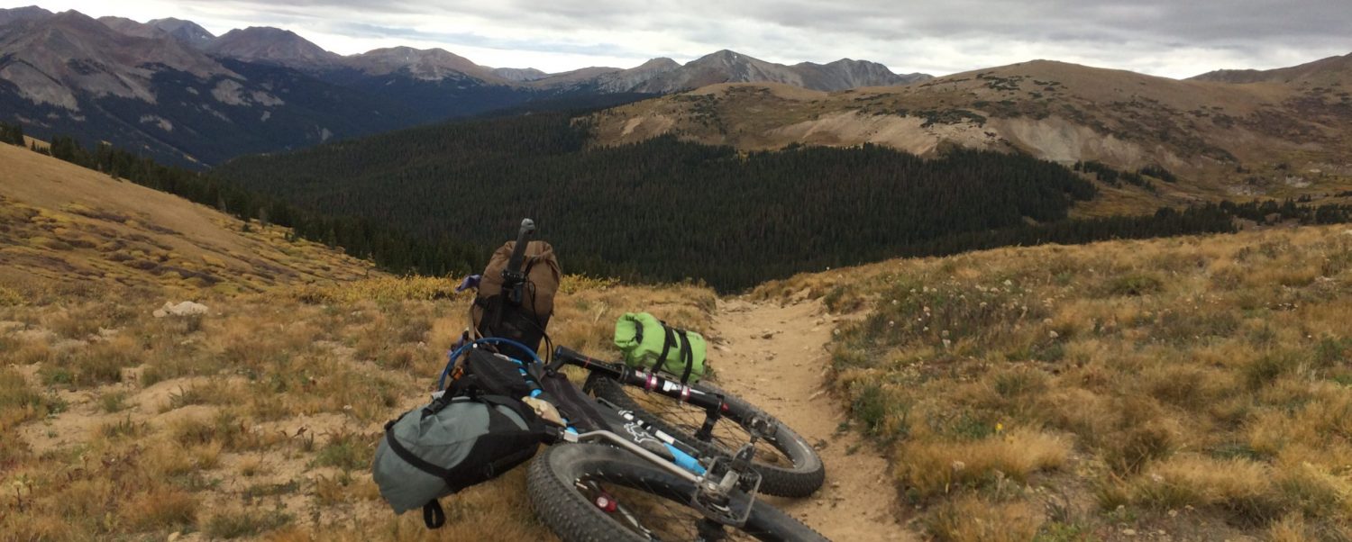
So we started out by climbing Mt. Marquette within the first few miles. I also fell over a couple fo times when I slid out or stalled in the sandy gravel. The view at the top was nice.

Soon after (maybe 14 miles in), we turned off the main road to loop where we figured we’d find a bit of gravel. We did- it was well-maintained, and we kept going. Soon after, though, the road narrowed a bit, and the gravel turned to sand. Deep sand! We had to walk several times. Then the road turned into a single lane of hardpack sand and rocks… then to doubletrack sand/rock… then we rounded a courner and saw PRIVATE PROPERTY signs on each side of the further dimishing road. We were forced to turn around and go back the way we came in.


Once we were back on the main road, we took a detour to get back onto the planned route. There was another surprise section of gravel (including a small climb- hard, but still do-able) before we crossed a highway, then we reached a third stretch of gravel and another big hill. Then the road narrowed a bit. It turned to hardpack dirt. Deja-vu? Yes. Within a mile or so, the road ended at another set of NO TRESPASSING signs- this time, complete with a wire gate across the road. So, we turned around and went back the way we came. Again.
Once we were back to the highway, we took to the headwind and detoured back in to Marquette. We still ended up with about 57 miles. Below is the tracing from Ryan’s Garmin GPS (blue) overlayed on the planned Mapmyride route.

Why does Ryan have a propeller sticking out of his helmet in the first photo?
How cool to read this, having spent my formative years in Marquette. Definitely more tolerable in July than the southeast, glad you got to spend some time exploring the area.